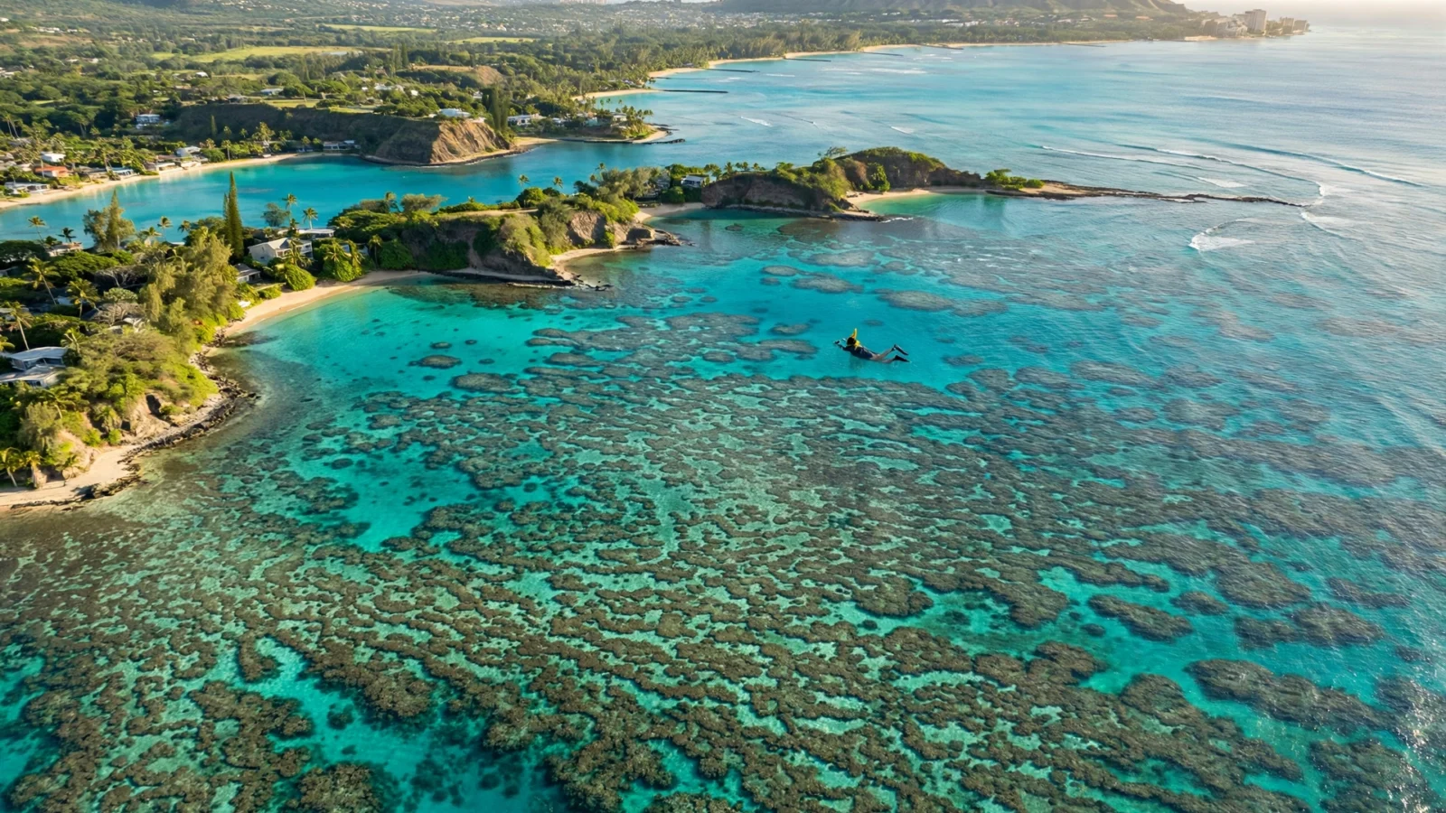
The short answer: Oahu’s snorkeling sits on four coasts, and the map below pins all 30 shore spots with GPS coordinates, a difficulty rating, and an honest verdict — so you can see exactly where each reef sits before you drive there. Unlike Maui, Oahu has no single snorkel coast: the North Shore rules in summer, the south shore and windward side carry the winter, and the leeward coast fills the gaps. Every spot below links to our full guide for that beach.
How to read this Oahu snorkeling map
Oahu’s snorkeling follows the swells, not a single coastline. The North Shore (Mokuleia to Sunset) faces the open Pacific and is a summer-only snorkel coast — glorious May through September, dangerous the rest of the year. The south shore (Diamond Head to Ala Moana) and the windward side (Kailua to Waimanalo) are sheltered year-round. The leeward (west) coast is calmest in summer but often snorkelable on calm winter mornings too.
Two rules run the whole map:
- North and west = check the surf first. Winter swells (roughly October–March) can make every pin from Mokuleia to Makua unswimmable. In winter, default to the south shore, Hanauma Bay, or the windward side.
- Mornings are calmest everywhere. Trade winds build through the afternoon, so plan shore entries before about 11am year-round.
For the full seasonal breakdown, see our best time to snorkel in Hawaii guide, and for the ranked list behind these pins, the Oahu snorkeling hub. Our dedicated North Shore Oahu snorkeling guide covers the winter/summer split in detail.
The full Oahu snorkeling map: every spot with GPS pins
Thirty shore spots, pinned clockwise from the North Shore’s west end around to the leeward coast. Paste any coordinate pair into Google Maps to drop a pin on the exact entry area. Difficulty is rated for a reasonably fit adult swimmer on a calm morning: Beginner = sandy entry, shallow reef, lifeguard often present; Intermediate = rocky entry, deeper water, or surge to respect; Poor = honest no-go verdicts we include so you don’t waste a drive.
| # | Spot | Coast | GPS | Difficulty | Best for | Guide |
|---|---|---|---|---|---|---|
| 1 | Mokuleia Beach | North | 21.5812, -158.1946 | Intermediate | Quiet far-west stretch | Mokuleia guide |
| 2 | Haleiwa Beach Park (Alii) | North | 21.5926, -158.1088 | Beginner | Calm harbor-side entry | Haleiwa guide |
| 3 | Laniakea (Turtle Beach) | North | 21.6177, -158.0861 | Beginner–Intermediate | Turtles hauled out on the sand | Laniakea guide |
| 4 | Chun’s Reef | North | 21.6211, -158.0827 | Intermediate | Offshore reef swim | Chun’s Reef guide |
| 5 | Waimea Bay | North | 21.6394, -158.0632 | Beginner (summer only) | Big calm crescent in summer | Waimea guide |
| 6 | Three Tables | North | 21.6469, -158.0621 | Beginner–Intermediate | Sheltered table reef | Three Tables guide |
| 7 | Shark’s Cove | North | 21.6488, -158.0617 | Intermediate | Best North Shore reef; lava tubes | Shark’s Cove guide |
| 8 | Ehukai Beach Park | North | 21.6650, -158.0508 | Intermediate (summer only) | Pipeline’s calm-season reef | Ehukai guide |
| 9 | Sunset Beach | North | 21.6735, -158.0400 | Intermediate (glassy mornings only) | Surf beach — snorkel rarely | Sunset guide |
| 10 | Kawela Bay | Northeast | 21.6959, -158.0126 | Beginner | Sheltered bay, calm water | Kawela guide |
| 11 | Kuilima Cove (Turtle Bay) | Northeast | 21.7028, -157.9967 | Beginner | Protected cove; beginner-safe | Kuilima Cove guide |
| 12 | Malaekahana | Northeast | 21.6557, -157.9313 | Intermediate | Shallow reef, uncrowded | Malaekahana guide |
| 13 | Hauula Beach Park | Northeast | 21.6105, -157.9101 | Beginner–Intermediate | Reef patches; local beach | Hauula guide |
| 14 | Kailua Beach | Windward | 21.4013, -157.7349 | Beginner–Intermediate | Long beach; reef offshore | Kailua guide |
| 15 | Lanikai Beach | Windward | 21.3918, -157.7160 | Beginner–Intermediate | Clear water; reef offshore | Lanikai guide |
| 16 | Waimanalo Beach | Windward | 21.3409, -157.7032 | Beginner–Intermediate | Long calm beach | Waimanalo guide |
| 17 | Kaiona Beach | Southeast | 21.3260, -157.6832 | Beginner | Sheltered cove | Kaiona guide |
| 18 | Halona Beach Cove | Southeast | 21.2881, -157.6721 | Intermediate | Small cove; calm mornings only | Halona guide |
| 19 | Hanauma Bay | Southeast | 21.2748, -157.6945 | Beginner | The classic beginner bay (reservation required) | Hanauma Bay guide |
| 20 | Cromwell’s Beach | South | 21.2574, -157.7968 | Intermediate | Rocky Diamond Head entry | Cromwell’s guide |
| 21 | Kaimana Beach (Sans Souci) | South | 21.2633, -157.8212 | Beginner–Intermediate | Waikiki’s local reef | Kaimana guide |
| 22 | Waikiki (Queen’s Beach) | South | 21.2763, -157.8261 | Beginner | Shallow, easy, crowded | Waikiki guide |
| 23 | Ala Moana Beach | South | 21.2930, -157.8398 | Beginner | Protected; family-friendly | Ala Moana guide |
| 24 | Ko Olina Lagoons | Leeward | 21.3425, -158.1239 | Beginner | Man-made calm lagoons | Ko Olina guide |
| 25 | Kahe Point (Electric Beach) | Leeward | 21.3525, -158.1301 | Intermediate | Warm outflow reef; turtles | Electric Beach guide |
| 26 | Tracks Beach | Leeward | 21.3597, -158.1312 | Intermediate | Reef off the highway | Tracks guide |
| 27 | Pokai Bay | Leeward | 21.4422, -158.1883 | Beginner | Calmest leeward bay | Pokai Bay guide |
| 28 | Makaha Beach | Leeward | 21.4775, -158.2214 | Beginner–Intermediate | Summer calm; winter surf | Makaha guide |
| 29 | Makua Beach | Leeward | 21.5290, -158.2275 | Intermediate | Remote, wild coast | Makua guide |
| 30 | Yokohama Bay | Leeward | 21.5506, -158.2434 | Poor | Usually too rough — look, don’t swim | Yokohama guide |
North Shore snorkeling map: Mokuleia to Sunset
Nine of the thirty pins sit on the famous seven-mile miracle — and every one of them is seasonal. Shark’s Cove (#7) is the North Shore’s best snorkel when it’s calm: a lava-rock cove with tubes and caverns to swim through, entered over rock — booties help. Next door, Three Tables (#6) is the gentler sibling, a shallow table reef that’s the safer family pick of the Pupukea pair.
Waimea Bay (#5) in summer is a giant calm swimming pool with a sandy entry — one of Oahu’s easiest snorkels. In winter it’s one of the world’s most famous big-wave spots: do not enter. The same winter rule governs Ehukai (#8) — home of the Pipeline surf break — and Sunset Beach (#9), which is a surf beach first and a snorkel spot only on the glassiest summer mornings.
The quieter west end of the shore rewards early birds: Chun’s Reef (#4) is a real swim out to the reef, Laniakea (#3) pairs decent snorkeling with turtles hauled out on the sand (give them space), Haleiwa Beach Park (#2) has the calmest entry on this stretch, and Mokuleia (#1) at the far west end is the empty-beach option. Summer mornings before 10am are the window for all nine.
Windward, southeast and Hanauma Bay
The windward side is Oahu’s year-round backup coast. Kawela Bay (#10) and Kuilima Cove (#11) at Turtle Bay are the sheltered pair — Kuilima’s protected cove is one of the island’s safest beginner entries. Malaekahana (#12) and Hauula (#13) are local beaches with patchy reef; go on calm mornings and keep expectations modest.
Kailua (#14) and Lanikai (#15) are two of the prettiest beaches in Hawaii, but the snorkeling is a swim out to offshore reef — better than the sand suggests, not as good as the water color promises. Waimanalo (#16) and Kaiona (#17) continue the pattern: gorgeous, calm, decent-not-great snorkeling.
The southeast corner holds the island’s most famous snorkel: Hanauma Bay (#19) is a drowned volcanic crater and a marine reserve — the classic first-timer bay. You now need a reservation to enter, so book ahead; our Hanauma Bay guide walks through the booking. Nearby Halona Cove (#18) is tiny, rocky, and only worth it on flat-calm mornings.
South shore and leeward coast: Waikiki to Yokohama
The south shore is where most visitors actually snorkel. Waikiki’s Queen’s Beach (#22) has a small shallow reef right off the sand — easy and crowded. Kaimana (#21), the locals’ Waikiki beach at the Diamond Head end, has the better reef of the two. Ala Moana (#23) is protected by an outer reef and stays calm, though it can turn murky after heavy rain. Cromwell’s (#20) under Diamond Head is the rocky-entry step up.
The leeward coast runs from resort-calm to wild. Ko Olina’s lagoons (#24) are man-made and nearly always calm — the safest snorkel on the west side. Kahe Point / Electric Beach (#25) is the local favorite: the power plant’s warm-water outflow draws turtles and big schools, but it’s a real open-water swim with surge to respect. Tracks (#26) and Pokai Bay (#27) are the mellow middle — Pokai is the calmest natural bay on the leeward side.
Past Makaha the coast turns serious. Makaha (#28) is a summer snorkel and a winter surf break. Makua (#29) is remote and beautiful with no facilities — go with a buddy. Yokohama Bay (#30), the end of the road, is our honest no-go: it’s usually too rough for snorkeling. We pin it so you don’t drive the whole Farrington Highway expecting a swim.
Boat-only spots (no shore pin)
Two essential Oahu snorkel experiences aren’t shore entries at all. Turtle Canyon sits about a mile off Waikiki — a turtle cleaning station you reach by catamaran or boat tour; see our Turtle Canyon guide. The Kaneohe Bay sandbar on the windward side is a boat-access reef flat with turtles and rays — our Kaneohe Bay guide covers how to get there. For choosing between boat and shore, see Hawaii snorkeling tours.
Where to snorkel on Oahu this month
Use the map with this seasonal cheat sheet. It’s a pattern, not a forecast — always check the day’s surf and wind before entering.
| Months | Go here | Avoid / caution |
|---|---|---|
| May – September | Everywhere: North Shore at its calmest (pins 1–9), plus leeward and windward | Afternoon trade-wind chop — go before 11am |
| October, April | South shore (Waikiki, Ala Moana, Hanauma), windward side, sheltered leeward bays (Pokai, Ko Olina) | First/last swells can reach the North Shore and Makaha/Makua |
| November – March | South shore first (pins 20–23), Hanauma Bay, windward side; Kahe Point and Pokai Bay on calm days | North Shore (pins 1–9), Makaha, Makua, Yokohama during swells |
New to the sport? Start with our beginners guide and how-to-snorkel primer, and read Hawaii snorkeling safety before any rocky entry. Turtles are everywhere on this map — the rules for watching them are in snorkeling with turtles (stay 10 feet back, never touch).
Oahu snorkeling map FAQ
Is there a free Oahu snorkeling map?
Yes — this page is one. The pin table above gives you GPS coordinates for all 30 shore spots free; paste any pair into Google Maps to navigate to the entry. Rental shops hand out paper snorkel maps, but they’re designed to sell gear, not to rank spots honestly.
Where is the best snorkeling on Oahu?
On the map: Shark’s Cove (#7) for the best reef, Hanauma Bay (#19) for beginners, Kahe Point (#25) for turtles and big schools, and Kuilima Cove (#11) or Ko Olina (#24) for the calmest water. The North Shore (pins 1–9) wins in summer; the south shore wins in winter.
What is the best beach in Oahu for snorkeling for beginners?
Hanauma Bay, Kuilima Cove, Ko Olina’s lagoons, and Ala Moana Beach — protected water, easy entries, and lifeguards at several. All are pinned above with beginner ratings. Note Hanauma Bay requires a reservation.
Can you snorkel from shore on Oahu, or do you need a tour?
Almost everything on this map is a free shore entry — no tour needed. The exceptions are Turtle Canyon and the Kaneohe Bay sandbar, which are boat-only. If you want a guided trip anyway, our gear checklist covers what to bring.
Which side of Oahu is best for snorkeling?
It depends on the season. The North Shore (pins 1–9) is best May–September. November–March, the south shore (Waikiki to Ala Moana) and the windward side are the call. The leeward coast is the year-round middle ground on calm days.
Where do you see turtles snorkeling in Oahu?
Laniakea (#3) is the famous turtle beach, Kahe Point (#25) has a turtle-heavy outflow reef, and Turtle Canyon (boat-only) is a cleaning station. Hanauma Bay and Kuilima Cove get regular sightings too. Stay at least 10 feet away — it’s federal law.
Is snorkeling good in Oahu in December?
Yes, on the south and windward sides. December swells shut down the North Shore, but Waikiki, Ala Moana, Hanauma Bay, Kailua and Lanikai stay calm. Go in the morning before the trades build.
Can I download or print this Oahu snorkeling map?
There is no PDF download — but the GPS table above works better than a static printout. Paste any coordinate pair into Google Maps to drop a pin on the exact entry, and save those pins to a custom list for offline use on the beach. The seasonal table tells you which pins are in season for your travel month.
Do I need reef-safe sunscreen in Oahu?
Yes — Hawaii bans sunscreens with oxybenzone and octinoxate. See our reef-safe sunscreen guide for what to buy.
How we built this map
Every pin on this map corresponds to a spot we’ve covered in a dedicated guide on this site — no scraped, unverified pins. GPS coordinates were geocoded and verified against mapping data in October 2026. Difficulty ratings reflect entry type, typical conditions, and lifeguard presence on a calm morning. Spots we rate “Poor” stay on the map deliberately: a map that only shows the good spots sends people to the bad ones by omission. Our full process is documented in our methodology.